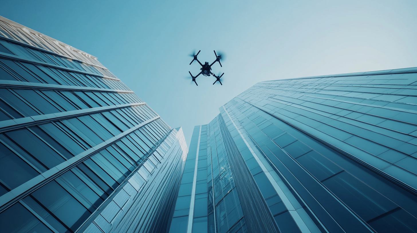
Building Facade Inspections
See every crack, stain, and deficiency from every angle.
High-resolution aerial scanning of building exteriors using commercial drones equipped with visual and zoom cameras. We produce detailed orthomosaic imagery, 3D photogrammetric models, and annotated deficiency reports that give your team a complete, measurable picture of building envelope conditions.
The Challenge
Problems You Might Be Facing
These are the real-world issues our clients come to us with. If any of this sounds familiar, you're not alone.
Rope access and scaffolding are expensive and slow
Traditional facade inspection methods require costly rigging, specialized labor, and extended timelines that disrupt building operations and delay project schedules.
Ground-level inspections miss critical defects
Visual assessments from the ground simply cannot identify deterioration, cracks, sealant failures, or water damage on upper elevations with the detail needed for accurate reporting.
No consistent, measurable documentation
Without a systematic baseline, tracking deterioration over time becomes guesswork. You need repeatable, georeferenced imagery to make sound maintenance decisions.
Stakeholders need visual evidence, not just narrative
Reports filled with text descriptions alone fail to communicate the true scope and severity of facade conditions to owners, boards, and remediation teams.
Swing stages and boom lifts create safety risks
Traditional access methods put workers at height on mechanical equipment, introducing fall hazards, liability exposure, and the need for specialized safety planning on every mobilization.
Partial coverage leaves entire elevations undocumented
Traditional methods often inspect only the most accessible faces or sample areas, leaving large portions of the building uninspected. Full-envelope coverage requires a method that can reach every elevation efficiently.
How It Works
Our Proven Process
For facade inspections, our process begins with reviewing building plans and identifying priority areas. We then execute systematic flight patterns around each elevation, process the data into orthomosaics and 3D models, and deliver annotated reports with every deficiency mapped and classified.
Augmented reality visualization of our systematic flight planning. Vertical lawnmower-style paths ensure complete wall coverage on every elevation, while a horizontal grid pattern captures the full rooftop — guaranteeing no surface goes undocumented.
What You Get
Deliverables That Drive Decisions
Every engagement produces tangible, documented outputs your team can use to take action.
High-Resolution Facade Imagery
Complete photographic coverage of every building face, organized by elevation and orientation, captured at resolutions that reveal fine-grained defects.
Annotated Deficiency Reports
Each identified deficiency is documented with precise location, visual evidence, and classification to support remediation planning and prioritization.
Orthomosaic Maps
Stitched, distortion-corrected facade maps that provide a single, measurable image of each building face for accurate spatial analysis.
3D Photogrammetric Models
Interactive 3D reconstructions of building exteriors that let your team explore conditions from any angle, take measurements, and identify problem areas.
Condition Rating Summaries
High-level assessment summaries that quantify the overall state of the building envelope and prioritize areas requiring immediate attention.
Comparison Overlays
When re-inspection data is available, side-by-side comparisons show how conditions have changed over time, supporting long-term maintenance planning.
Built for the People Who Need It Most
Our building facade inspections service is designed for professionals who need reliable, documented data to make critical decisions about their buildings and projects.
Explore More
Other Services You Might Need
Ready to Get Started?
Tell us about your project and we'll put together a tailored scope and quote. No pressure, no obligation.