Data Captured.
Intelligence Delivered.
We're a drone inspection and aerial intelligence company built on one idea: the value isn't in the flight, it's in what you do with the data. Based in Galveston, Texas, we help building owners, consultants, and contractors see what they've been missing.

Meet Elizabeth Brown
Elizabeth Brown is the CEO of Little Bird AI and the kind of problem-solver who doesn't stop until the right answer is found. With a background spanning operations, education, and institutional management, she has spent her career bringing order to complexity — learning early that the difference between a good outcome and a bad one often comes down to whether the right people had the right information at the right time.
That conviction is what led her to build Little Bird AI alongside her partner Koby. After more than 15 years of working together, they share a deep understanding of what clients actually need — not just data, but clarity. Not just documentation, but protection.
Elizabeth leads the business with the same instincts she has always brought to her work: listen carefully, identify the real problem, and don't stop until it's solved.
At Little Bird AI, that means ensuring every client — whether a university system, a healthcare organization, or a commercial owner — walks away with documentation they can stand behind, reporting they can trust, and a partner they can count on.
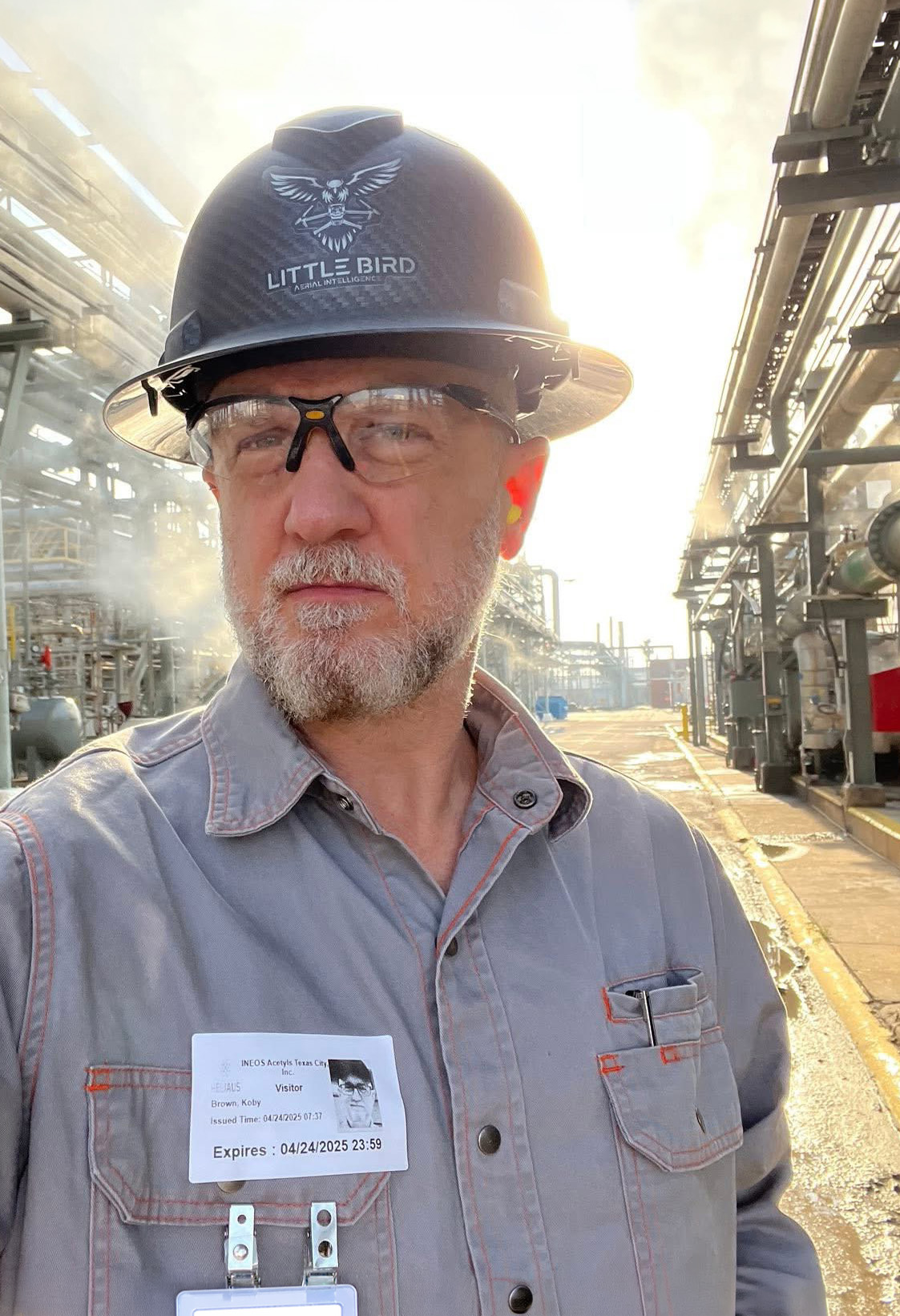
Meet Koby Brown
Little Bird AI was founded with a simple conviction: buildings tell stories that most people never get to hear. Hidden behind facades, above ceilings, and under roofing membranes, there are problems waiting to become expensive surprises. We exist to find them first.
With more than three decades of software engineering and professional imaging expertise, Koby brings a unique perspective to the drone and sensor-based inspection industry. Where most operators focus on the flight, Little Bird AI focuses on the intelligence layer: turning raw aerial data into clear, documented, decision-ready analysis.
After completing 400+ commercial missions with zero safety incidents across 36+ commercial job sites, the track record speaks for itself. Every project follows a rigorous process, and every deliverable is designed to solve a real problem for the people who need the answers most.
Our Mission
We Don't Just Fly Drones.
We Deliver Actionable Intelligence.
Aerial imagery with centimeter-level precision for asset inspections, mapping, orthomosaics, elevation models, and 3D reconstructions. Georeferenced visible light and infrared data for enhanced inspections. Construction progress monitoring that provides visual documentation of project milestones with the ability to compare progress by date.
Precision
Every data point matters. We use RTK positioning, calibrated sensors, and systematic flight planning to deliver centimeter-accurate results.
Transparency
You get the full picture: raw data, processed outputs, flight logs, and documented methodology. No black boxes.
Problem Solving
We don't deliver data dumps. We deliver analysis, context, and clear recommendations that help you make decisions.
Credentials
Certified, Insured, and Accountable
Professional certifications and proper insurance aren't optional for us. They're the foundation of every engagement.
FAA Part 107 Remote Pilot
Federally licensed for commercial drone operations with full compliance on every mission.
Certified sUAS Thermographer
Specialized training in aerial thermal imaging, radiometric data interpretation, and building science.
HUB Certified
Historically Underutilized Business certification (#1805764766300) recognized by the State of Texas.
$2M UAV Liability Insurance
Comprehensive coverage that protects your property and our operations on every project.
400+
Commercial Missions
36+
Commercial Job Sites
456
Miles Flown
0
Safety Incidents
Equipment & Technology
The Tools Behind the Intelligence
We pair enterprise-grade hardware with professional processing software to deliver outputs that meet the highest standards of accuracy and reliability.
Hardware
DJI Mavic 3 Enterprise
Enterprise-grade aerial platform with a mechanical shutter, 56x hybrid zoom, and RTK positioning for centimeter-level accuracy.
DJI Mavic 3T Enterprise
Thermal-equipped aerial platform with a split-screen visible/infrared feed and a radiometric thermal sensor built for building envelope and roof surveys.
PointOneNav NTRIP RTK
Real-time kinematic corrections that deliver centimeter-accurate geolocation data for photogrammetric precision.
Handheld Thermal Scope
Ground-level thermal optic for qualitative visual confirmation of anomalies detected during aerial surveys. Used for on-site verification, not quantitative measurement.
Insta360 X5
360-degree camera for immersive interior walkthroughs, capturing every angle of concealed conditions before they are covered up.
Software & Processing
DroneDeploy
Photogrammetric processing for orthomosaics, 3D models, elevation maps, and measurement tools.
DJI FlightHub 2
Mission planning, fleet management, and real-time flight monitoring for safe, efficient operations.
AirData
Flight logging, maintenance tracking, and safety analytics for full operational transparency.
Professional Thermography Software
Specialized tools for radiometric analysis, thermal annotation, and anomaly classification.
Ready to See What You've Been Missing?
Tell us about your building or project and we'll show you exactly how aerial intelligence can help.